I'm James. This is my year of travel.


^ About a half-mile farther north is this narrow wood-deck bridge, and a "No Road Maintenance - Proceed At Own Risk" warning sign. At about 0.8 mile north of the GIH-Lewis Reef intersection, there are these views across the strait of the Ketchikan's northern outskirts along AK 7. The road remains about as wide as the GIH, but has more potholes. I don't know the name of that road (could be part of Lewis Reef Rd.), or whether it is state- or locally-maintained. ^ North of the GIH-Lewis Reef intersection, the roadway continues north. The bridge routing was complicated by the need to make room for tall cruise ships and large ferry and other vessels, without intruding on airspace needed for jets and other planes using the airport. The final proposed routing for the strait crossing, before the project was canceled, called for a pair of bridges - a high-level bridge between Pennock Island and AK 7 south of downtown Ketchikan, and a short lower-level bridge here from Gravina Island to Pennock Island. The second photo is a closeup of Pennock Island in the background, which is in the strait between Gravina Island and Ketchikan. 
^ The GIH ends at this cul-de-sac at mile 3.3. ^ Two ponds along the northbound side of the GIH, near mile 1.0. For this bridge, the transition from the gravel roadbed to the concrete deck is particularly rough, and is one of the places on the GIH you want to slow down from the posted 35 mph speed limit to work your way around or through the potholes. 
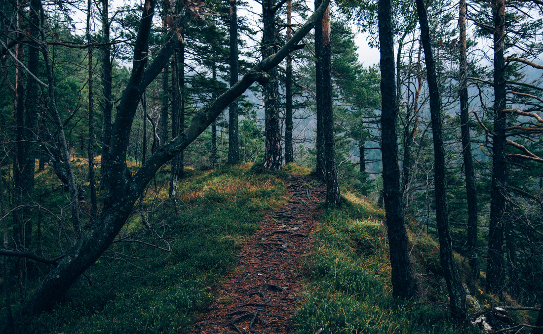
^ Around mile 0.3 from the Lewis Reef intersection, this is the first of two similar concrete bridges on the GIH (the second bridge is around mile 1.3). ^ This sign at the Lewis Reef intersection notes that the GIH is unmaintained in the winter, which even at Ketchikan's relatively southern latitude lasts more than five months. ^ The north end of the GIH viewed from the north, which begins at its intersection with Lewis Reef Rd. I saw only one other vehicle during my hour or so exploring the road. OTOH, this really is a "road to nowhere" - apparently none of Gravina Island's few dozen residents live along the road, and there's nothing else there other than perhaps hunting opportunities. Both the GIH and most of the connecting road to the airport are unpaved and potholed in places, but my low-clearance Prius handled them with little difficulty. I then drove a local road past the airport terminal to the GIH. On Sunday morning 5/15, I took my car on the shuttle ferry from Ketchikan to Gravina Island that remains, without the abandoned bridge project, the only surface route from the city to the airport ( EDIT: see my separate trip report on the ferry). His successor Sarah Palin (per the official story) was able to cancel the other contracts, but not the one for the Gravina Island Highway. Frank Murkowski, on his way out of office, rammed through contracts for this and some other controversial road construction projects. Less publicized is that, before the bridge project was cancelled, an approach road about three miles long was built to connect the airport with the proposed crossing, which to this day is state-maintained and an unnumbered state highway. Ketchikan, Alaska is infamous for the now-abandoned plan to expensively bridge the strait between the city and its international airport on Gravina Island, dubbed (IMO, unfairly) a "bridge to nowhere".
0 Comments
Leave a Reply. |
 RSS Feed
